
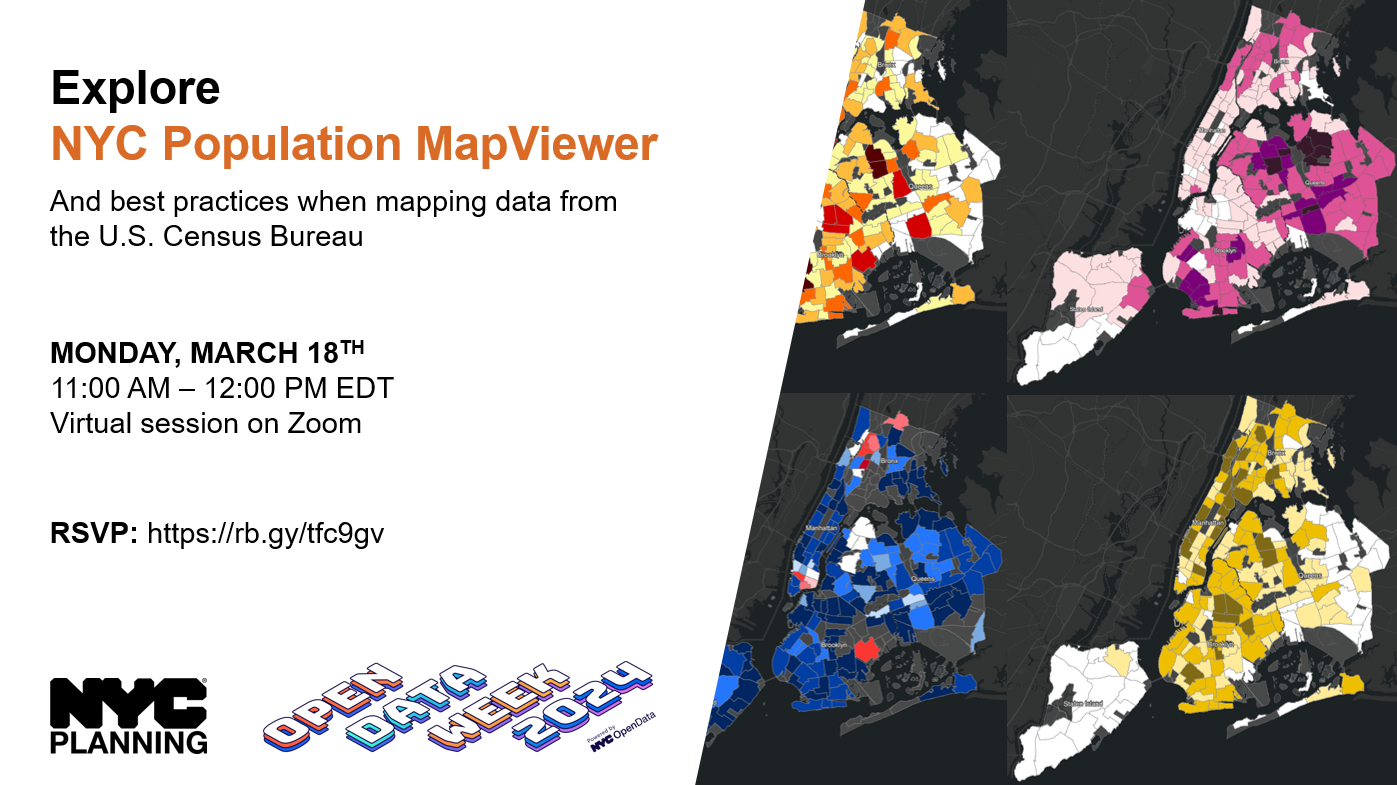
Join the NYC Department of City Planning’s Population Division for a live demonstration of NYC Population MapViewer, a website that allows users to explore the diverse population landscape of New York City’s neighborhoods through interactive maps and charts.
The website, built using ESRI’s ArcGIS Online and Experience Builder platforms as well as Tableau, makes it easy to visualize complex demographic, socioeconomic, and housing data from the 2020 Census and American Community Survey. Users can explore maps that examine how individual neighborhoods compare to each other and to NYC as a whole in terms of population density, age composition, race & ethnicity, and average household size and tenure and how these characteristics have changed over time. This presentation will also include a discussion on best practices when mapping geographic data from the U.S. Census Bureau.
Attendees are encouraged to explore NYC Population MapViewer on their own before attending the event.